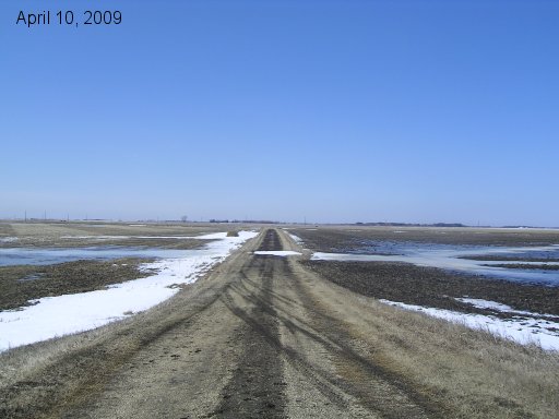
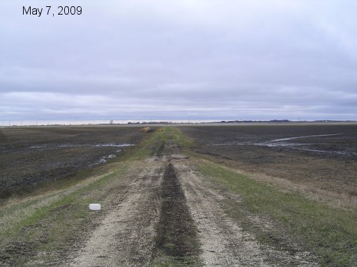
Here is a series of pictures showing the water raising and then lowering on our mailbox road. It runs east and west between the yard dike and the east service road of Hwy 75. These pics are taken from our dike looking west.
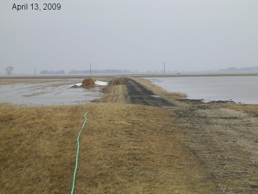
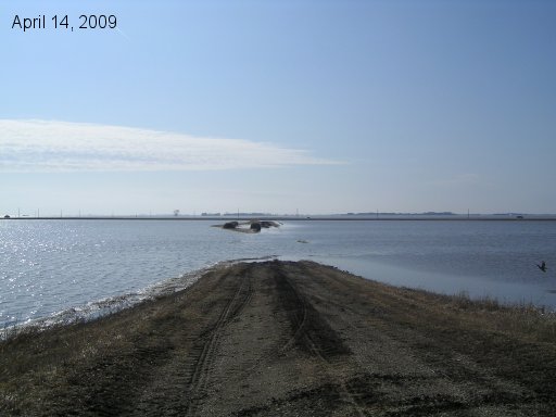
Somewhere in here this whole road was flooded right up to the dike and both fields to either side of it. I just don't have a pic of it.
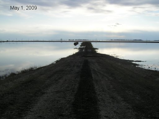
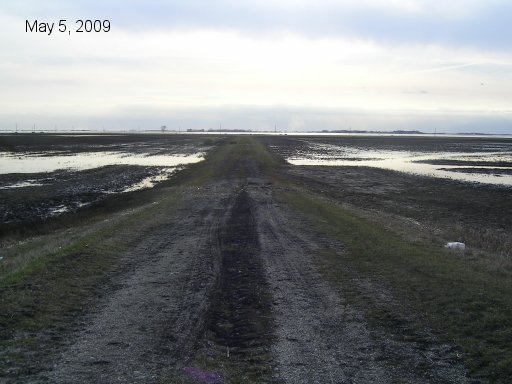
Water drains off river lots fast but there is still and ocean of water across the Hwy waiting to drain through culverts and coulees to the river.
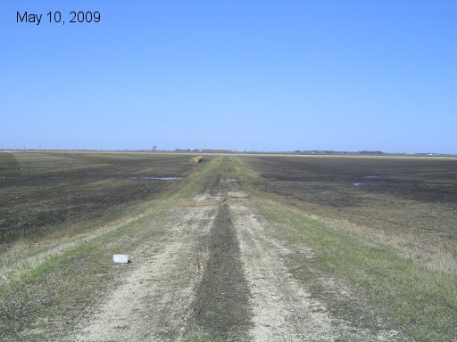
Land across the Hwy now has little standing water on it.
Go back to main 2009 Farm Flood page.
Last updated May 10/09