
Our friend Dale flew over in his little yellow ultralight on April 25, 2009 and took a few great aerial shots of the farm island for us and some other great shots from the air. Here's some of them.
Looking west. The Red River is below the line of trees at the bottom and Hwy 75 is at the top. The farm island on the left is Allen and John Snarr's and the one on the right is ours.
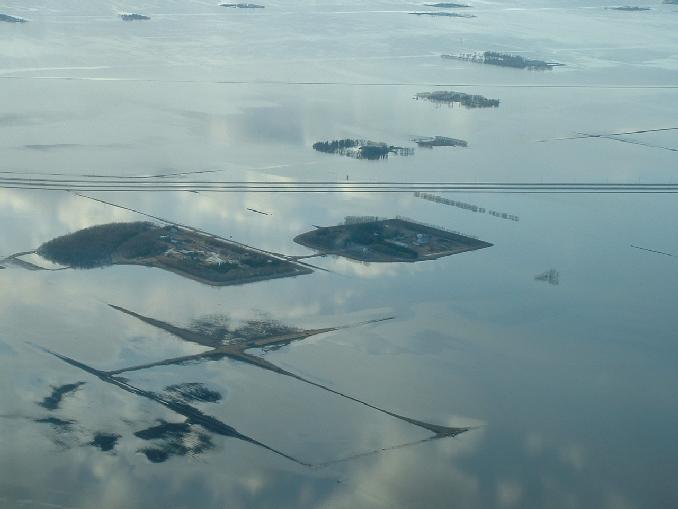
The farm island chain! Large one in the bottom hand corner is Allen and John Snarr's, then moving up and to the right is our's, Brian Klassen's, Don Hamblin's and ...
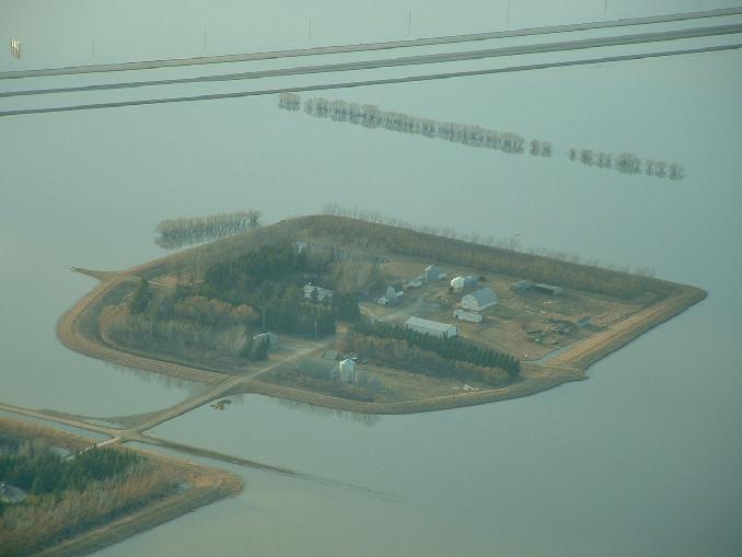
A nice view looking NW of our farm island.
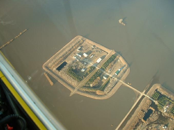
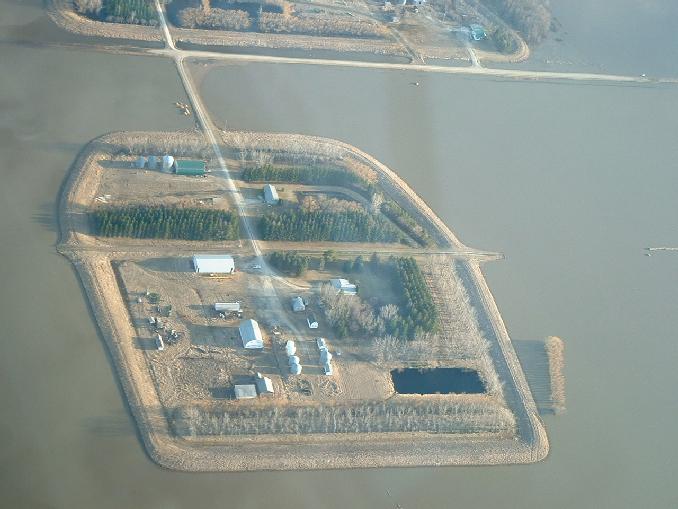
A view looking almost straight down at our farm island. The Red River is normally beyond the upper right hand corner of the shot with Hwy 75 below the lower left hand corner.
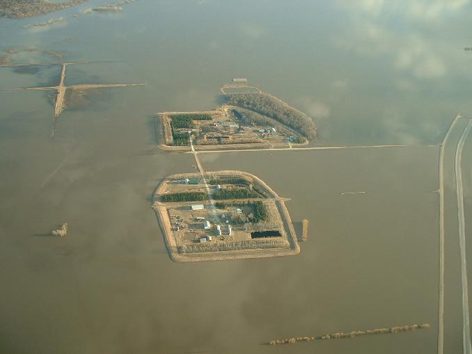
Looking south at our island on the bottom and Allen and John Snarr's at the top. Hwy 75 is on the right hand side.
A nice view of our island looking south with Allen and John Snarr's in the top of the picture.
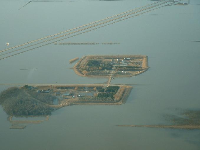
A view looking north with Allen and John Snarr's island at the bottom and our's at the top.
Go back to the main 2009 Farm Flood page!
Last updated May 01/09