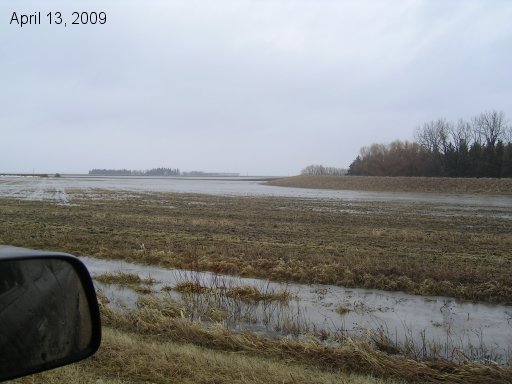
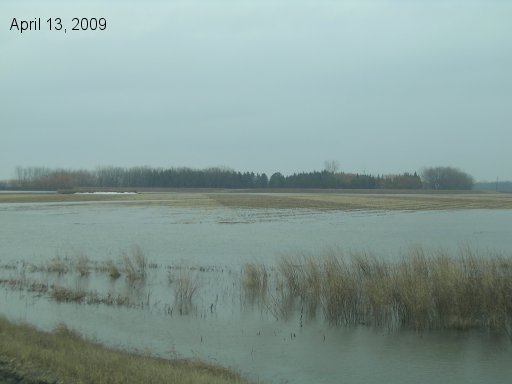
Taken from Road 27N looking north to farm dike's SW corner. Shows water back filling from coulee on north side of yard through culvert under field road.
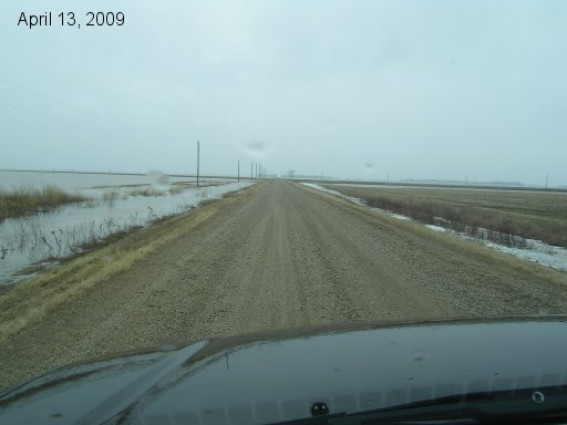
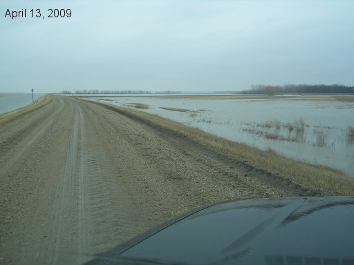
Looking west along Road 27N towards Hwy 75. There is about 1.5 feet higher water on the southside of this road then the north. This is now our lowest point as the municipality did not rebuild this road back to the level it was before the 1997 flood washed it out. Likely, water will start to flow over this road in the next 24 hours and we'll need to start boating in from Hwy 75 to the farmyard.
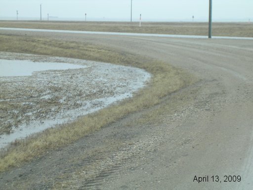
This is where Road 27N meets the east service road of Hwy 75. This is the lowest point on this section of Road 27N. Another 6-8 inches of water and it will start to flow over this road. We need to have vehicles out of the yard and parked on the Hwy before that happens as this will likely wash out fast.
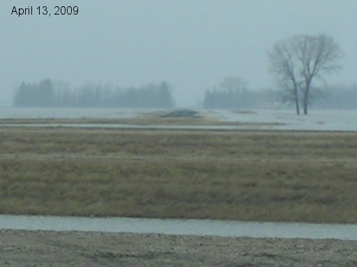
Looking west across Hwy 75 to next section of Road 27N. This road is already long been flooded at Joe's Creek by the most distant trees on the right hand side of the picture. Yes it's raining here!
Looking from junction of service road and Road 27N back towards SW corner of the dike. Shows water back filling from coulee on north side of yard closer to the service road. This water will eventually rise enough to join with the water back filling closer to the dike.
Looking north up the east service road from Road 27N. Water everywhere!
Go back to the main 2009 Farm Flood page.
Last updated Apr 14/09